London's Lesser Known Rivers - River Cray
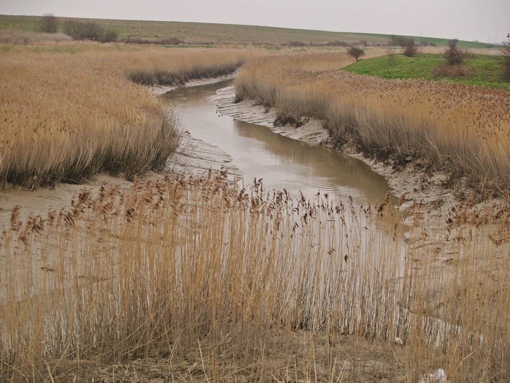
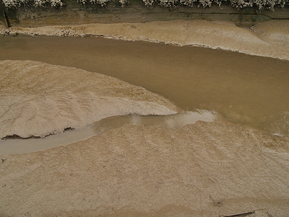
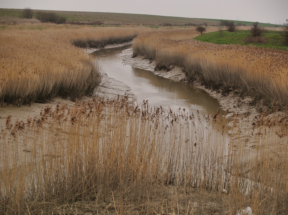
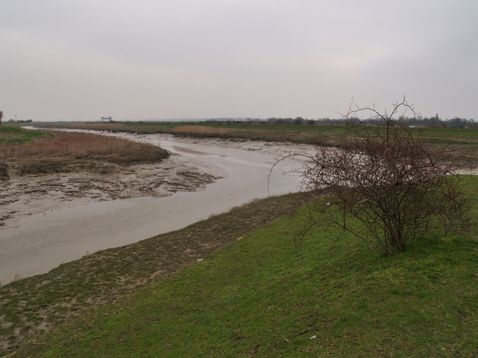
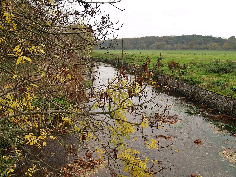
The River Cray between Crayford Marshes and Dartford Marshes here known as Crayford Creek.
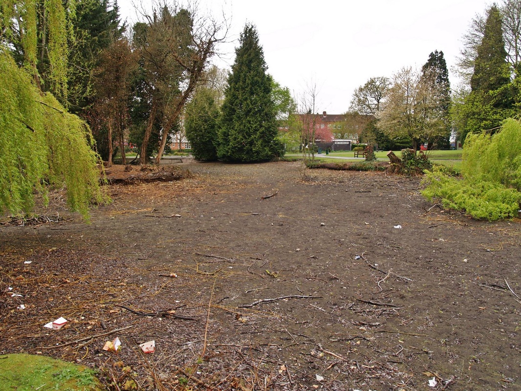
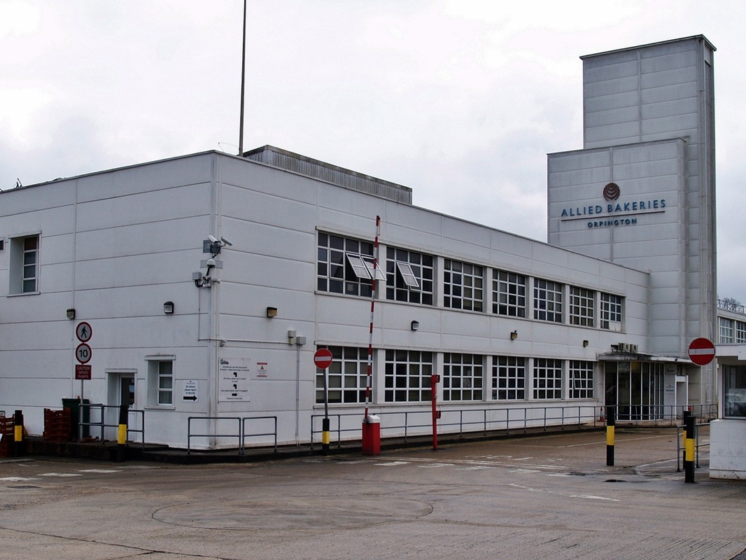
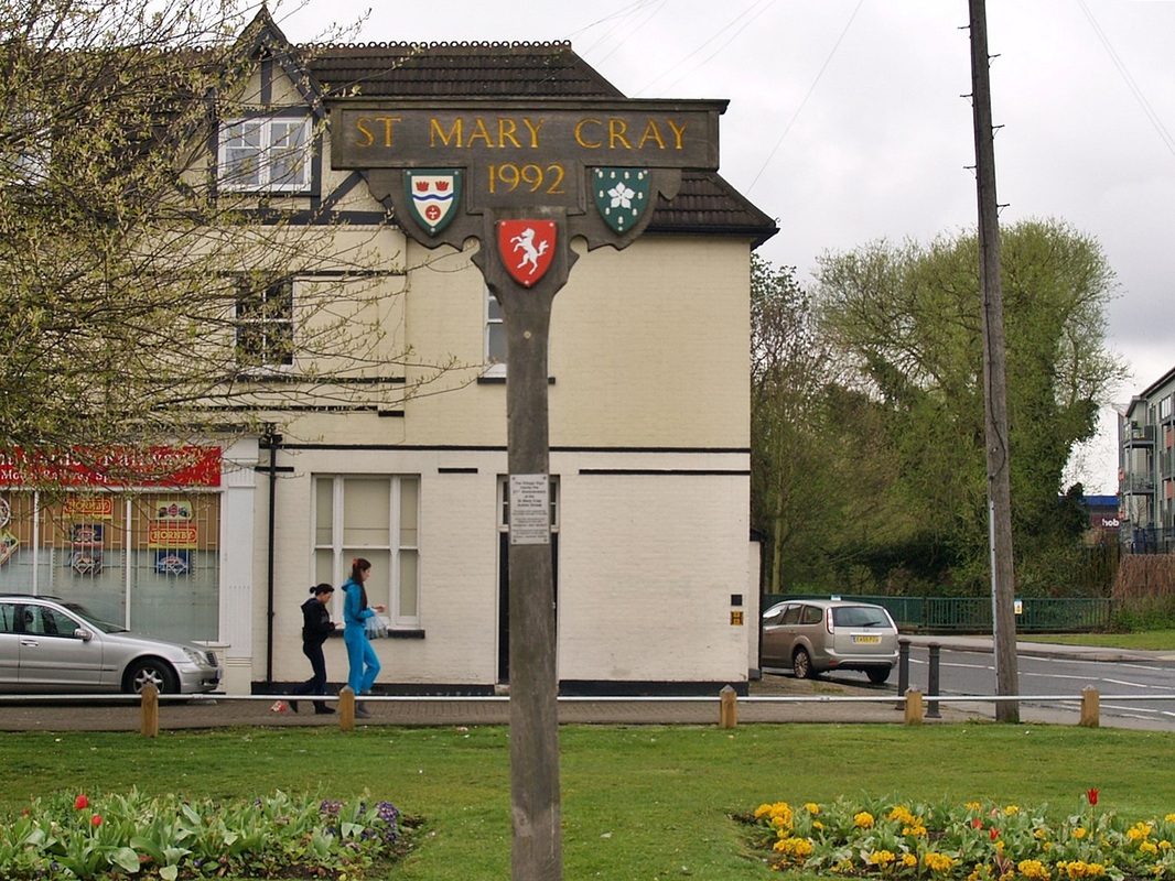
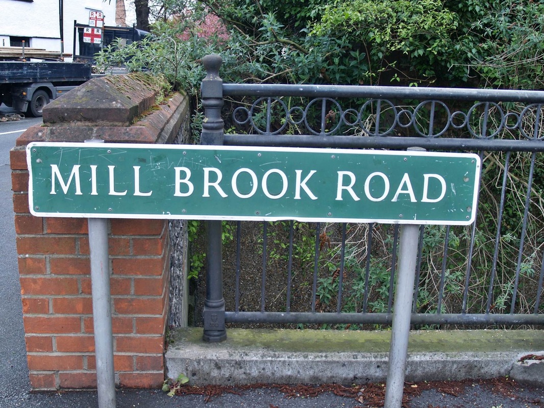
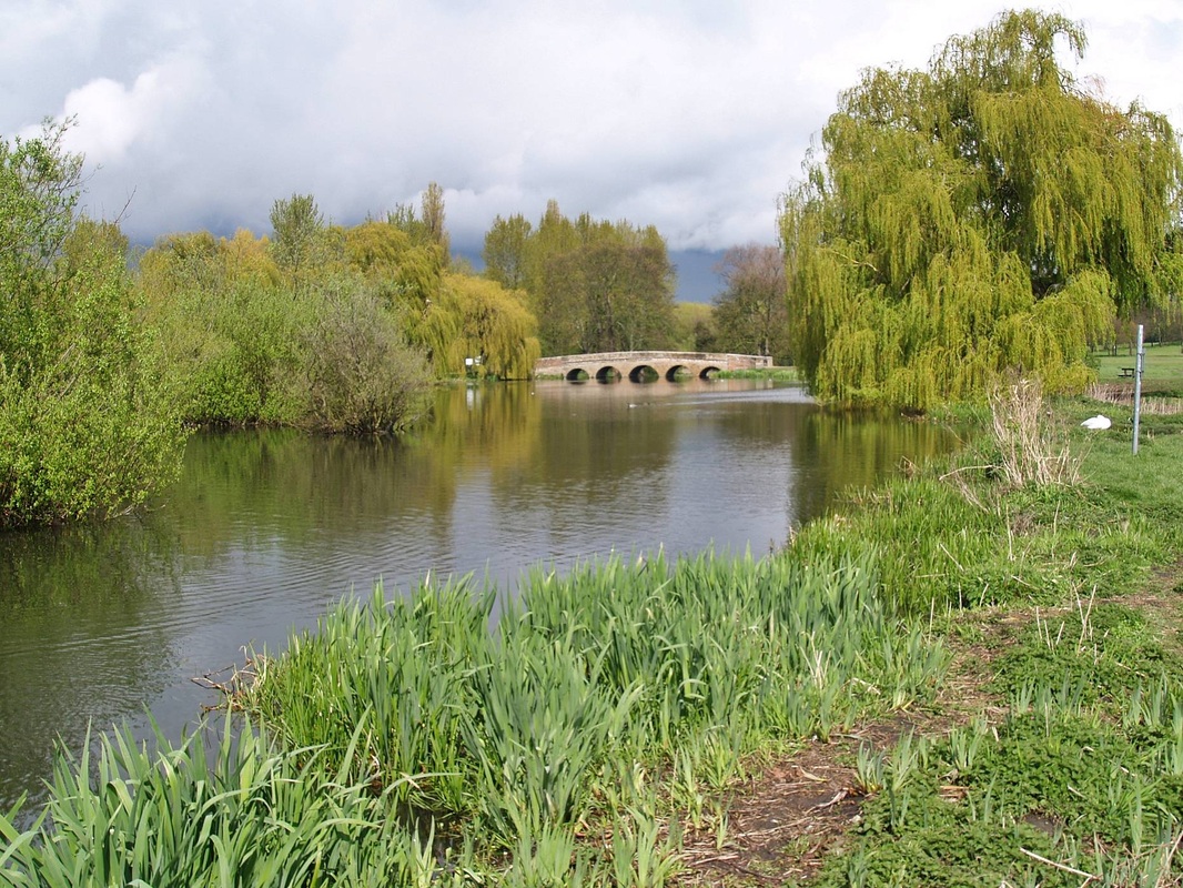
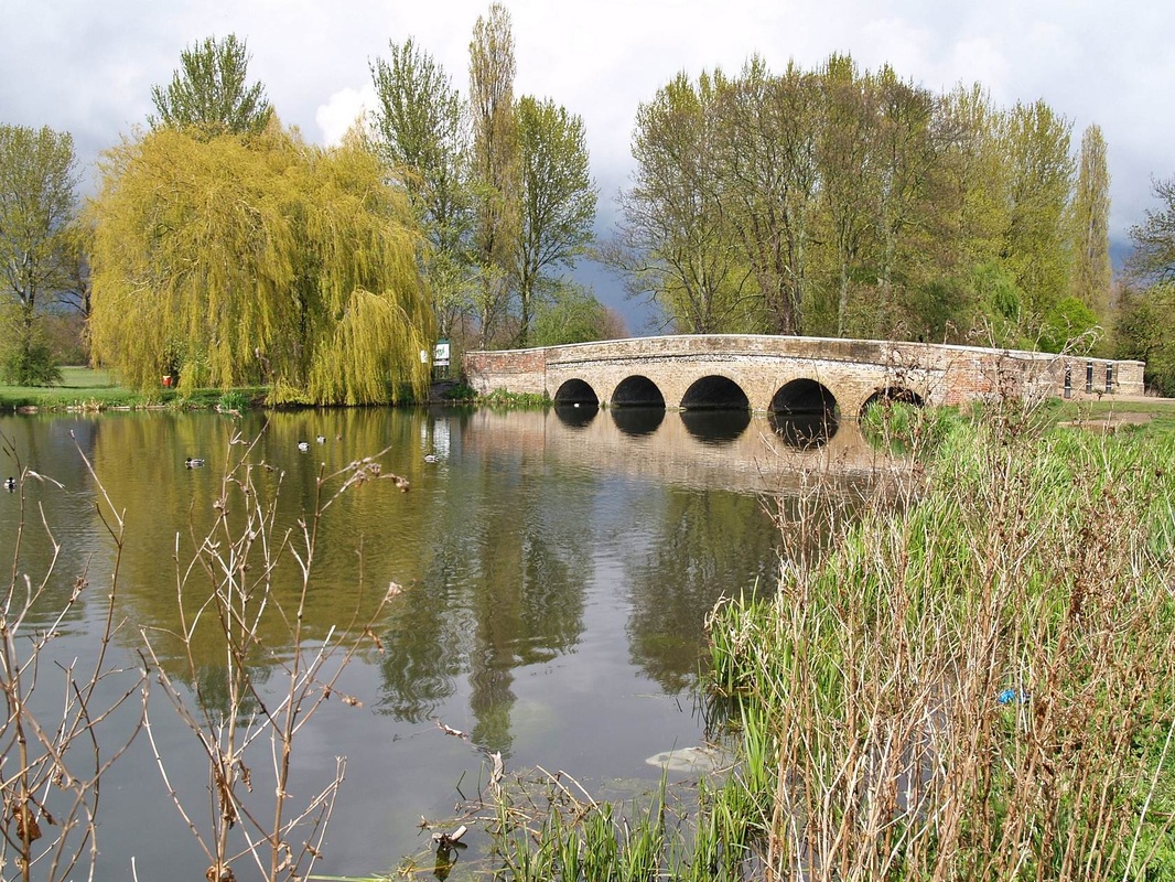
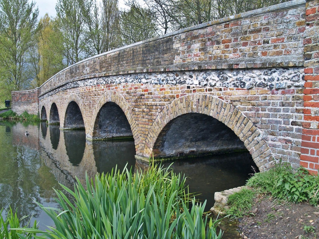
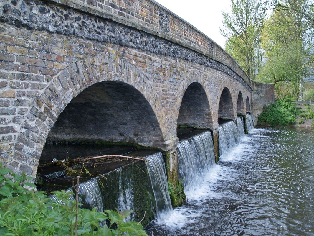
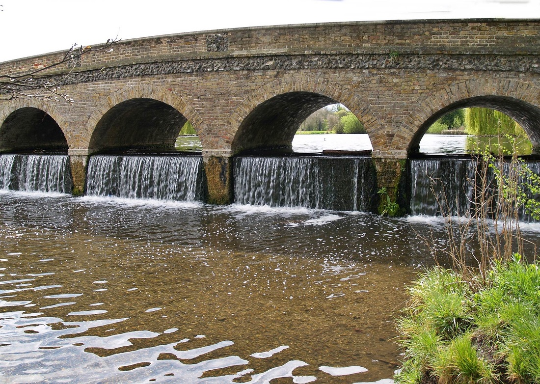
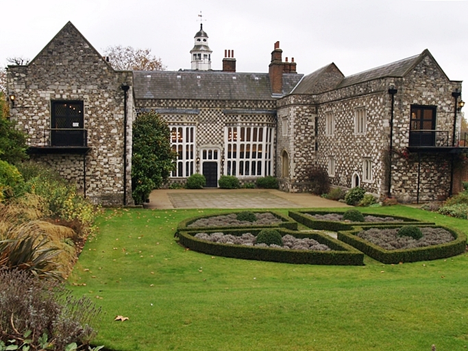
Over to the far SE of London towards Dartford, the River Cray is a tributary of the River Darent which in turn is a tributary of the Thames. It rises in Priory Gardens in Orpington in the London Borough of Bromley, where rainwater permeates the chalk bedrock and forms a pond at the boundary between the chalk and impermeable clay. It then flows northwards past the industrial and residential area of St Mary Cray, through St Paul's Cray where there was once a paper mill, through Foots Cray, and enters the parkland of Foots Cray Meadows. Here it flows under the Five Arches bridge (which was built in 1781 as part of the designs for Foots Cray Meadows drawn up by Capability Brown) and past Loring Hall (c.1760), once the home of Lord Castlereagh, who committed suicide there in 1822. It continues northwards through North Cray and Bexley, where there is a restored Gothic cold plunge bath house, built around 1766 as part of Vale Mascal Estate. It is then joined by the River Shuttle and then continues through the parkland of Hall Place, which was built for John Champneys in 1540. It then turns east through Crayford and Barnes Cray before joining the Darent, which flows northwards into the River Thames between Crayford Marshes and Dartford Marshes. The villages through which it flows are collectively known as The Crays. From source to mouth the River Cray powered fourteen watermills
The River Cray and its surroundings have a wealth of history. A large Iron Age settlement was located at Crayford, as was the Noviomagus, a sizeable Roman fortification. The Domesday Book of 1086AD contains references to the Crays, Crayford and Bexley.
In its early days the area around the River Cray was devoted almost entirely to agriculture. As time passed some large estates came into being, and grand houses were built for their owners. Loring Hall, High Street House and Hall Place are among those still in existence.
In the 16th century water provided by the River Cray was instrumental in industrial development - the linen bleaching industry. Its clear running water was also ideal for dyeing and printing. In time there were flour mills, brick-making at Crayford, tiles at Bexley, barge-building, tanneries and chemical manufacture. The arms industry was to become one of the biggest sources of employment in the area. This started with the development and manufacture of the famous Maxim gun, and the founding of the Vickers factory, which also produced planes and motor cars. Parts for the bouncing bombs that the Dambusters used were made in Crayford.
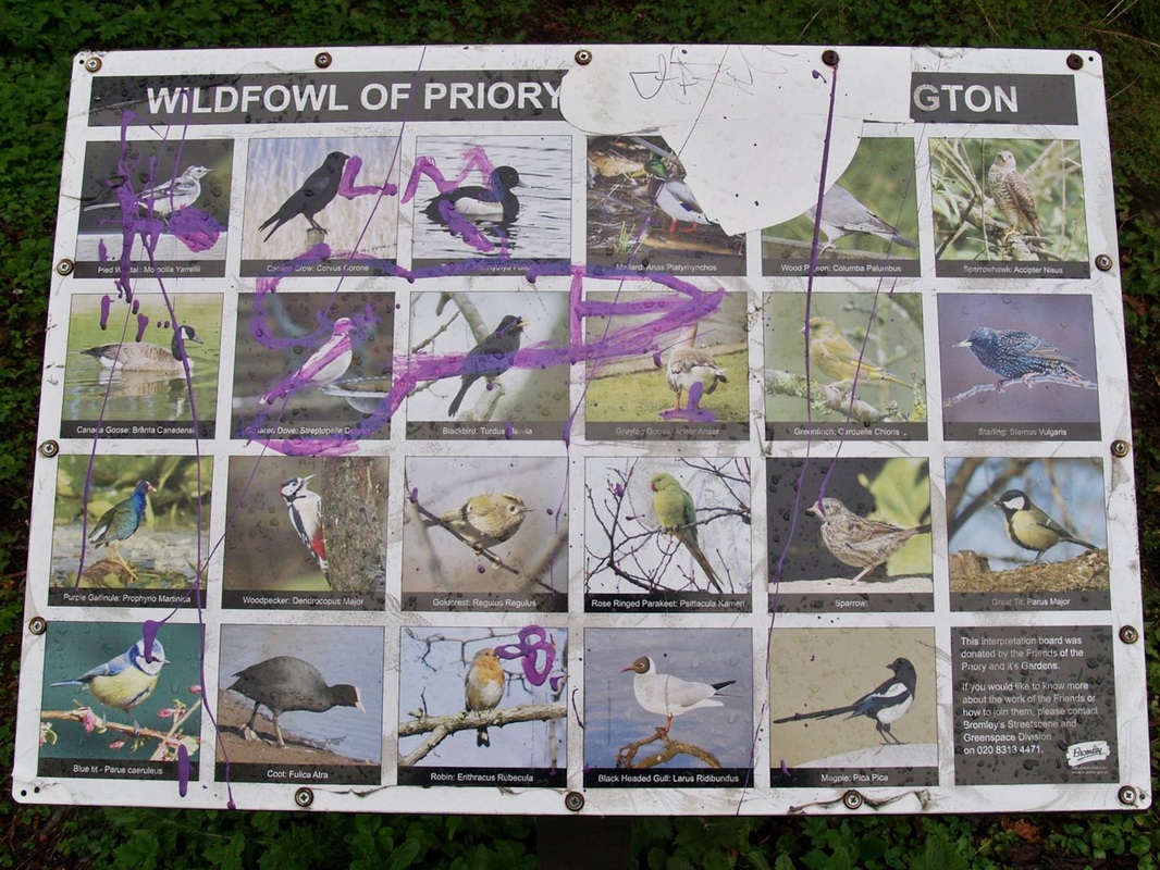
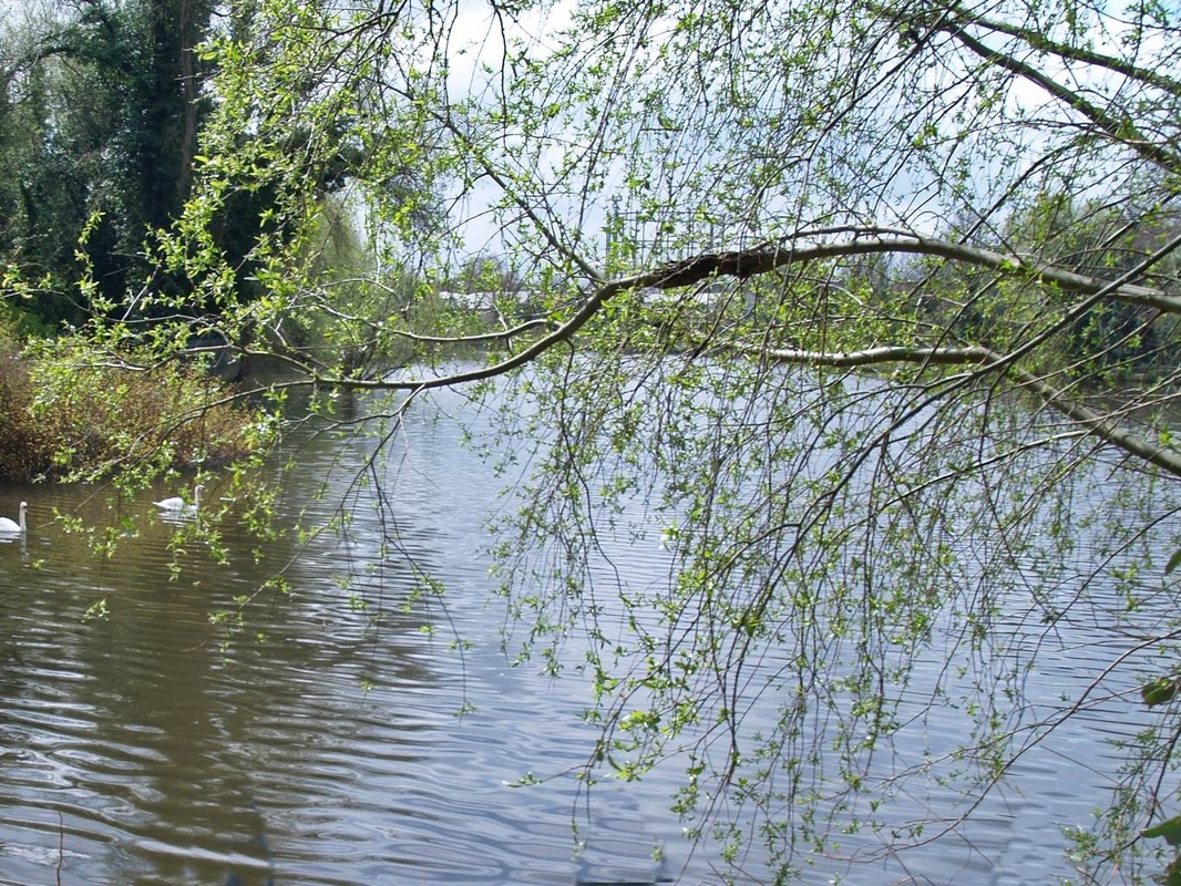
Dace are among the most common fish in the Cray. Their name derives from the Old English word for darting movement. Dace eat insects, and in the summer, shoals of Dace can be seen leaping to catch insects close to or landing on the waters’ surface. Pike also live in the Cray. They hunt other fish, amphibians, and waterfowl, normally ambushing their prey in a short, sharp strike. The Eel spawns in the Sargasso Sea in the western Atlantic, and once hatched, its larvae spend three years crossing the ocean to reach UK waters. As elvers, they make their way into fresh waters, including the Cray, where they will live for up to twenty years before making the journey back to the Sargasso Sea to spawn and die.
I have walked the River Cray from the source in Orpington to the river's confluence with the Darent up near the Thames and here are the pics.
The River Cray and its surroundings have a wealth of history. A large Iron Age settlement was located at Crayford, as was the Noviomagus, a sizeable Roman fortification. The Domesday Book of 1086AD contains references to the Crays, Crayford and Bexley.
In its early days the area around the River Cray was devoted almost entirely to agriculture. As time passed some large estates came into being, and grand houses were built for their owners. Loring Hall, High Street House and Hall Place are among those still in existence.
In the 16th century water provided by the River Cray was instrumental in industrial development - the linen bleaching industry. Its clear running water was also ideal for dyeing and printing. In time there were flour mills, brick-making at Crayford, tiles at Bexley, barge-building, tanneries and chemical manufacture. The arms industry was to become one of the biggest sources of employment in the area. This started with the development and manufacture of the famous Maxim gun, and the founding of the Vickers factory, which also produced planes and motor cars. Parts for the bouncing bombs that the Dambusters used were made in Crayford.
Dace are among the most common fish in the Cray. Their name derives from the Old English word for darting movement. Dace eat insects, and in the summer, shoals of Dace can be seen leaping to catch insects close to or landing on the waters’ surface. Pike also live in the Cray. They hunt other fish, amphibians, and waterfowl, normally ambushing their prey in a short, sharp strike. The Eel spawns in the Sargasso Sea in the western Atlantic, and once hatched, its larvae spend three years crossing the ocean to reach UK waters. As elvers, they make their way into fresh waters, including the Cray, where they will live for up to twenty years before making the journey back to the Sargasso Sea to spawn and die.
I have walked the River Cray from the source in Orpington to the river's confluence with the Darent up near the Thames and here are the pics.
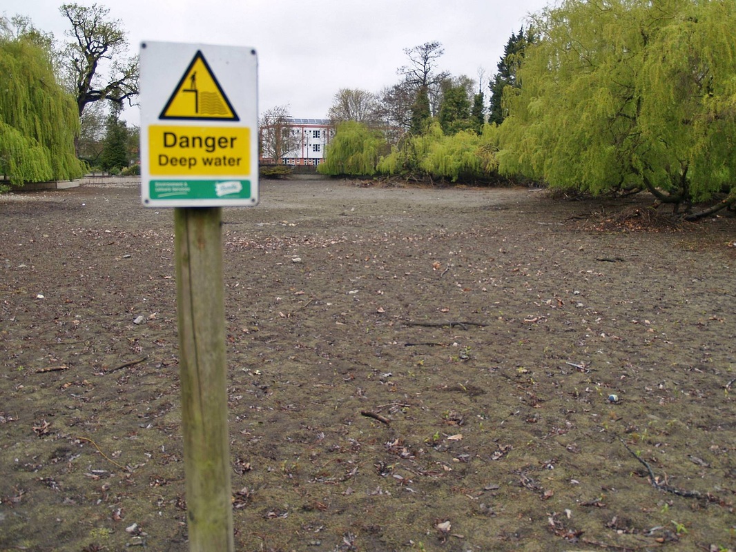
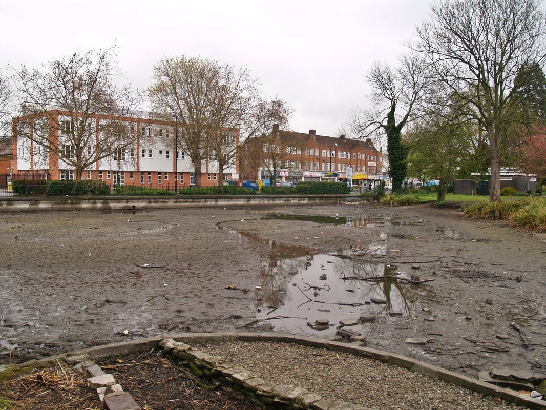
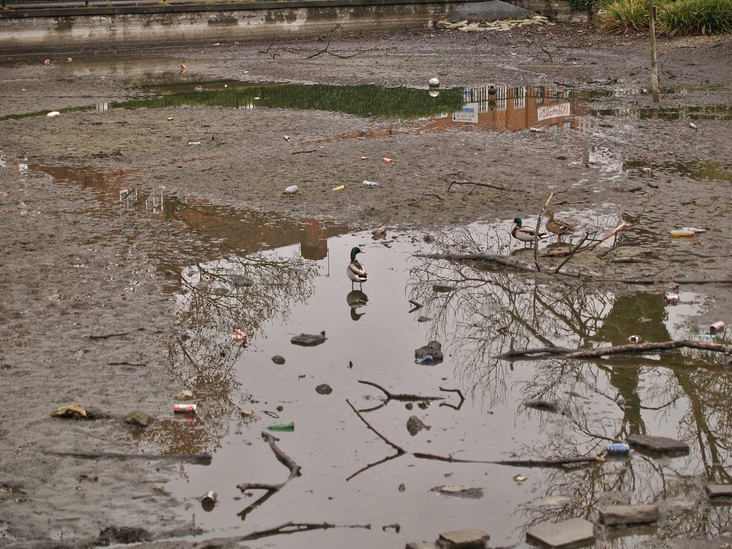
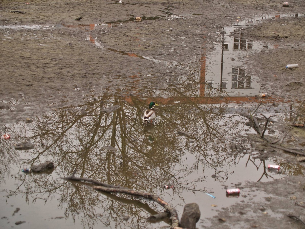
The Cray in pictures - The Source of the Cray - Priory Ponds in Orpington
Click on a pic to enlarge & then the right arrow on the enlarged pic to continue looking through the gallery.


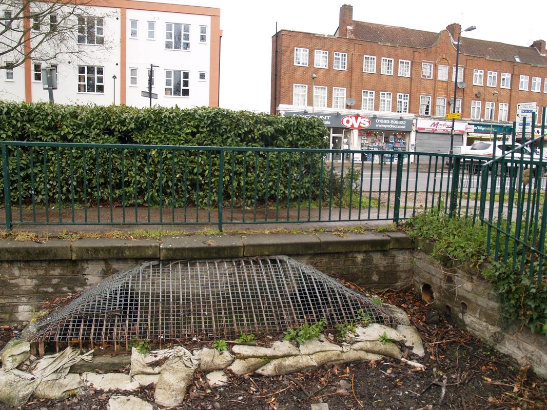
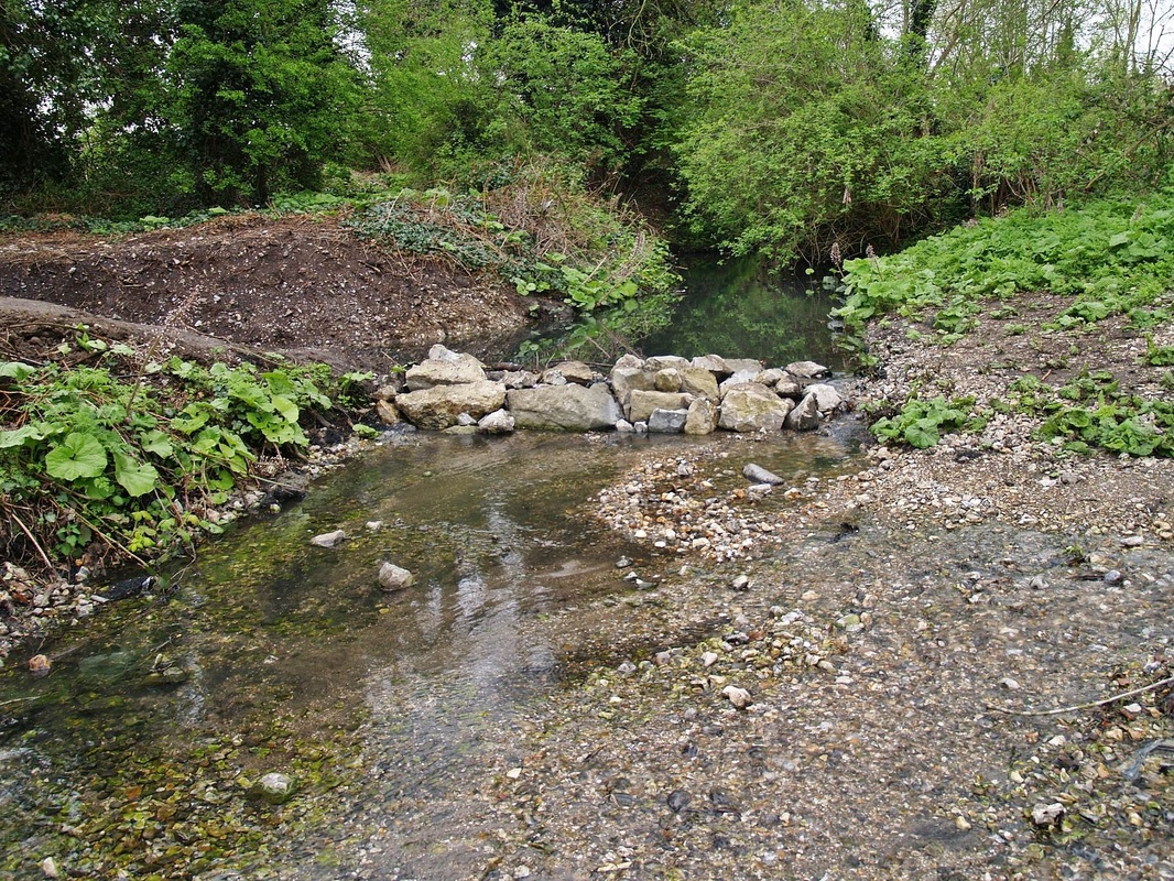
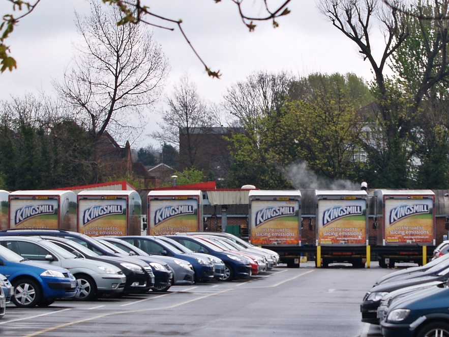
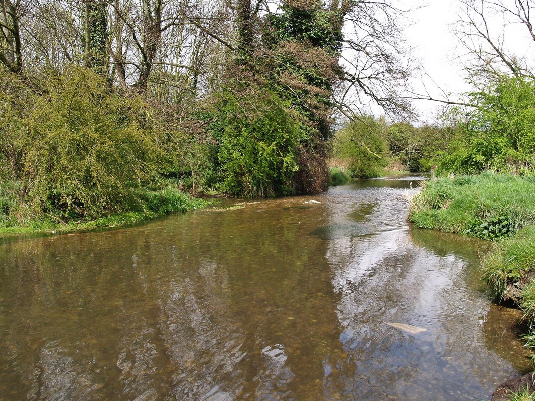
The Cray in pictures - From Orpington to St Paul's Cray:


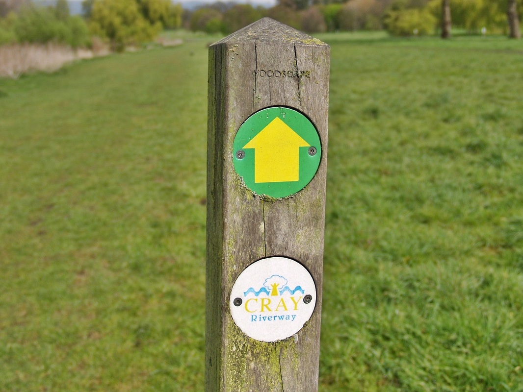
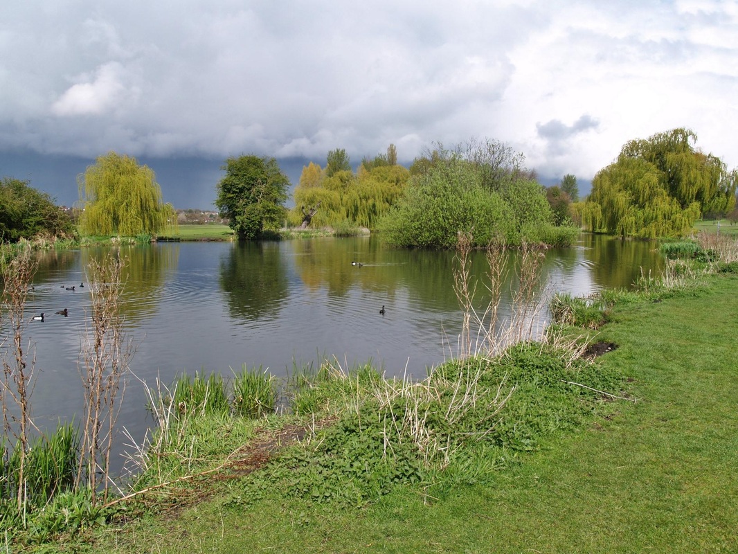
Foots Cray Meadows

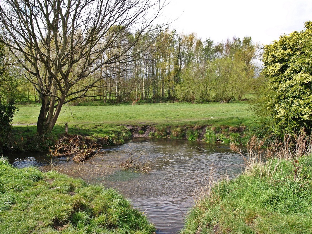

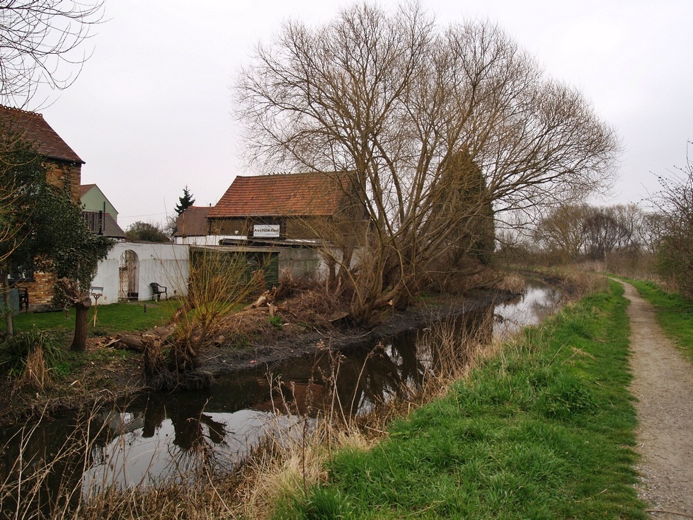
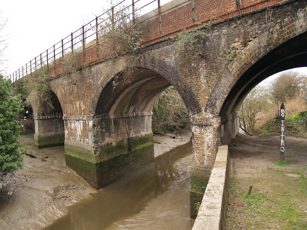
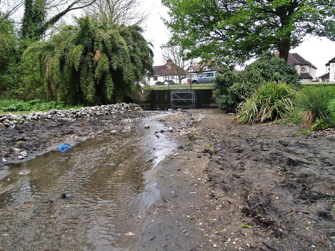
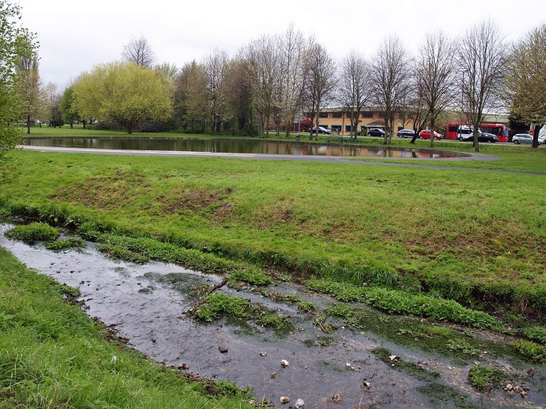
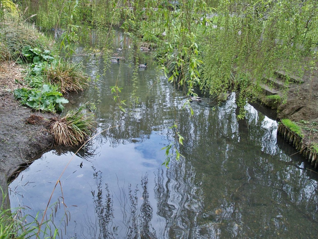
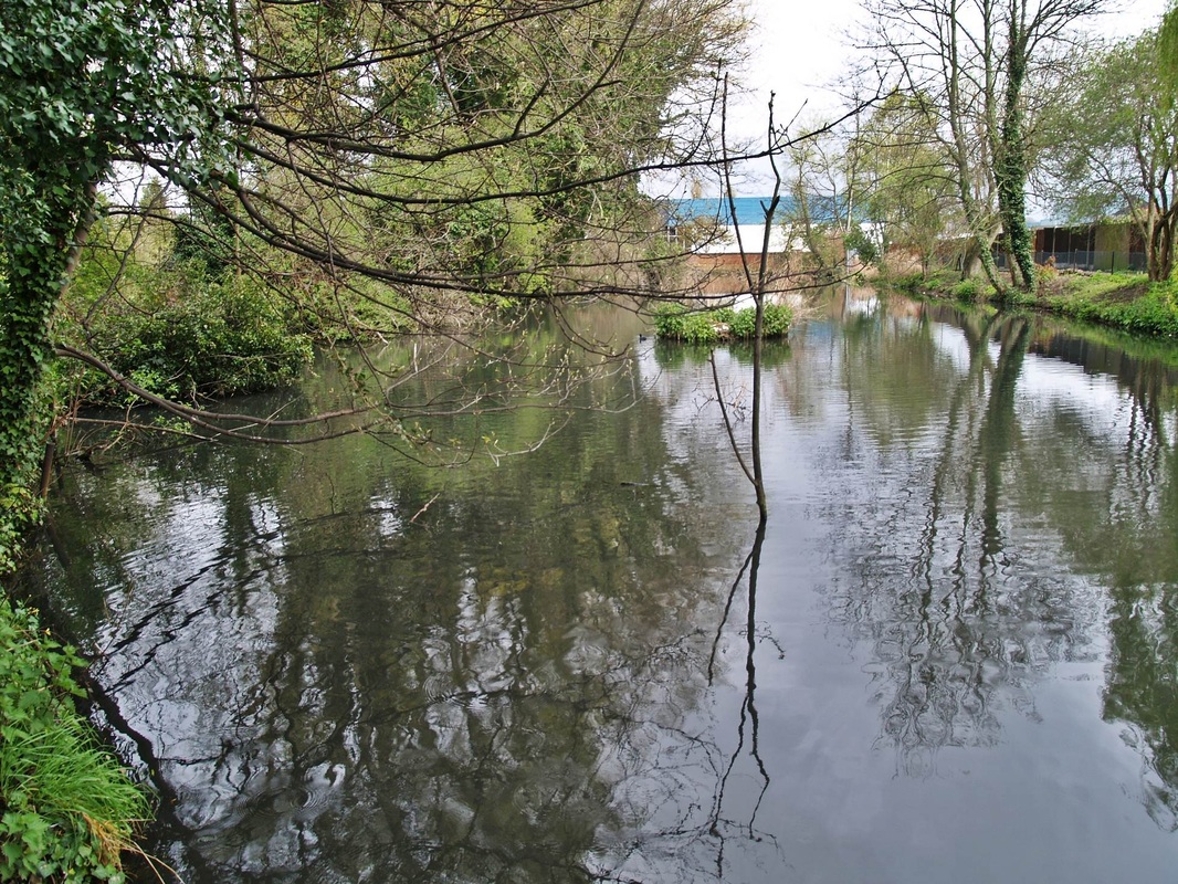
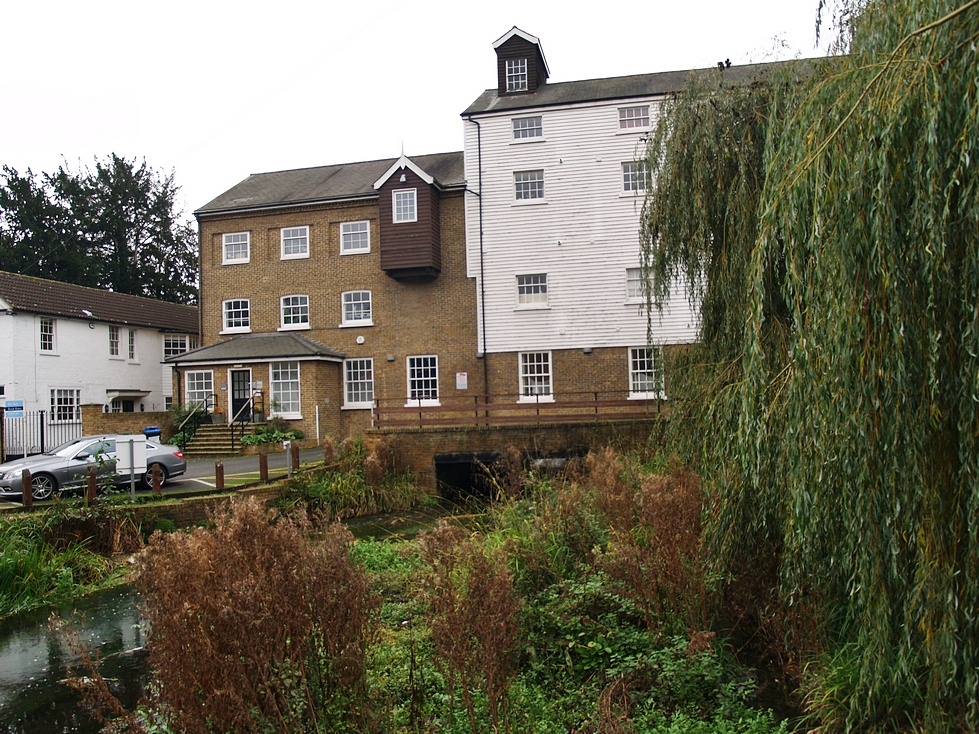
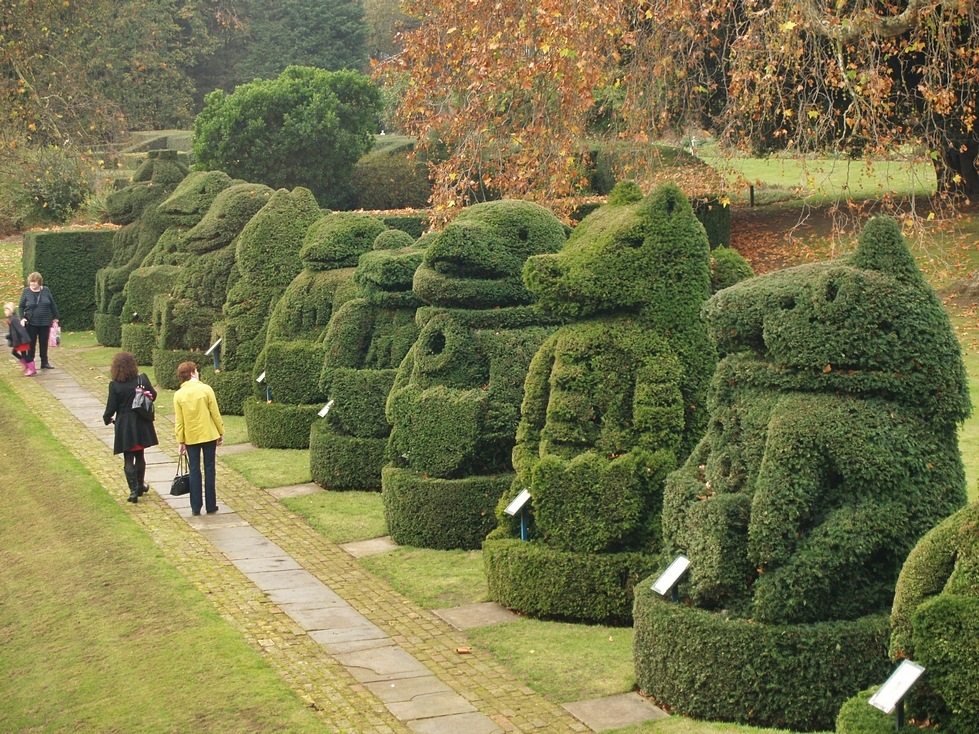
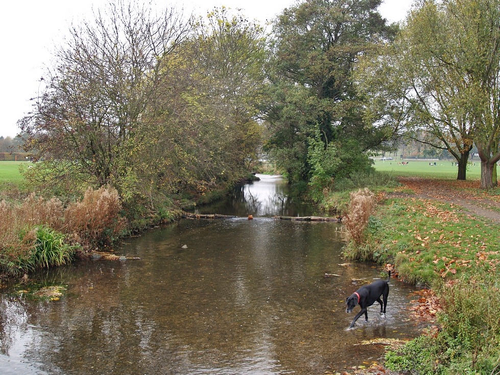
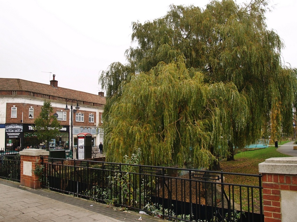
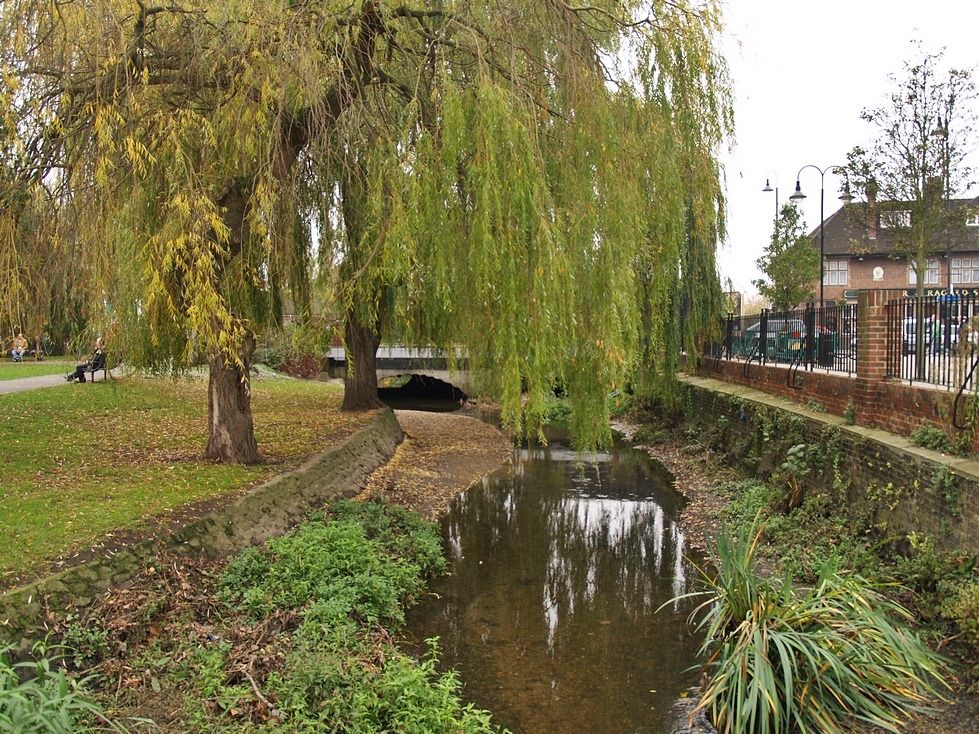
The Cray in pictures - From North Cray to Crayford:
Click on a pic to enlarge & then the right arrow on the enlarged pic to continue looking through the gallery.
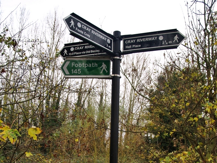
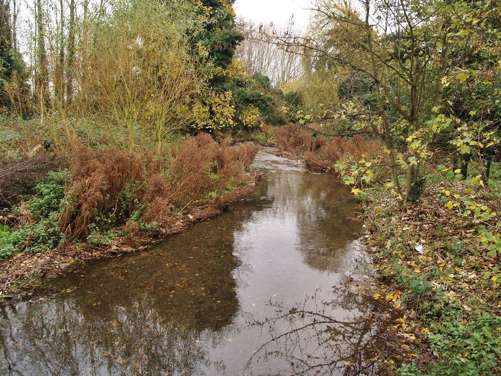
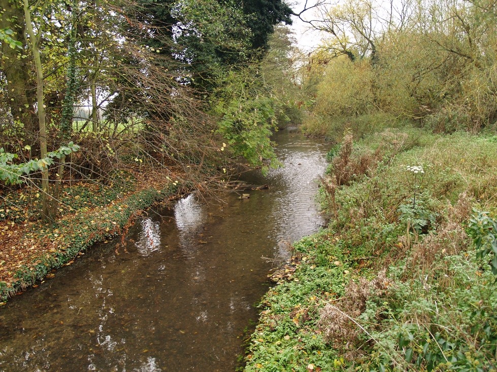


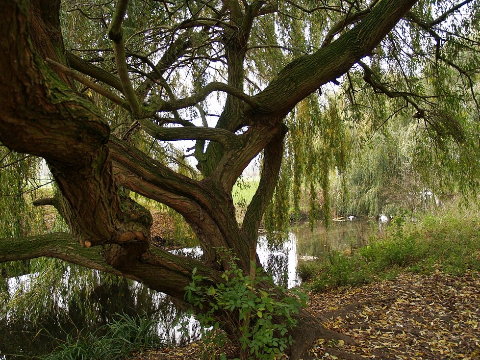

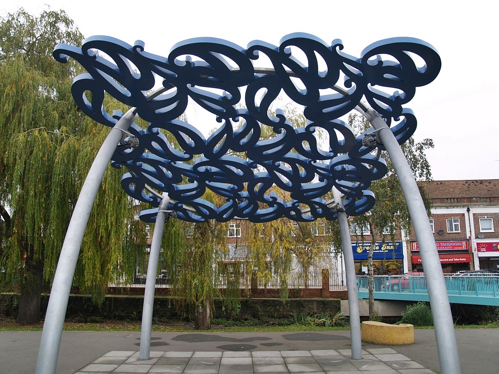
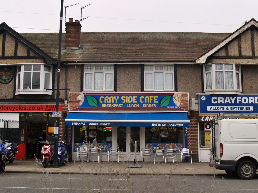
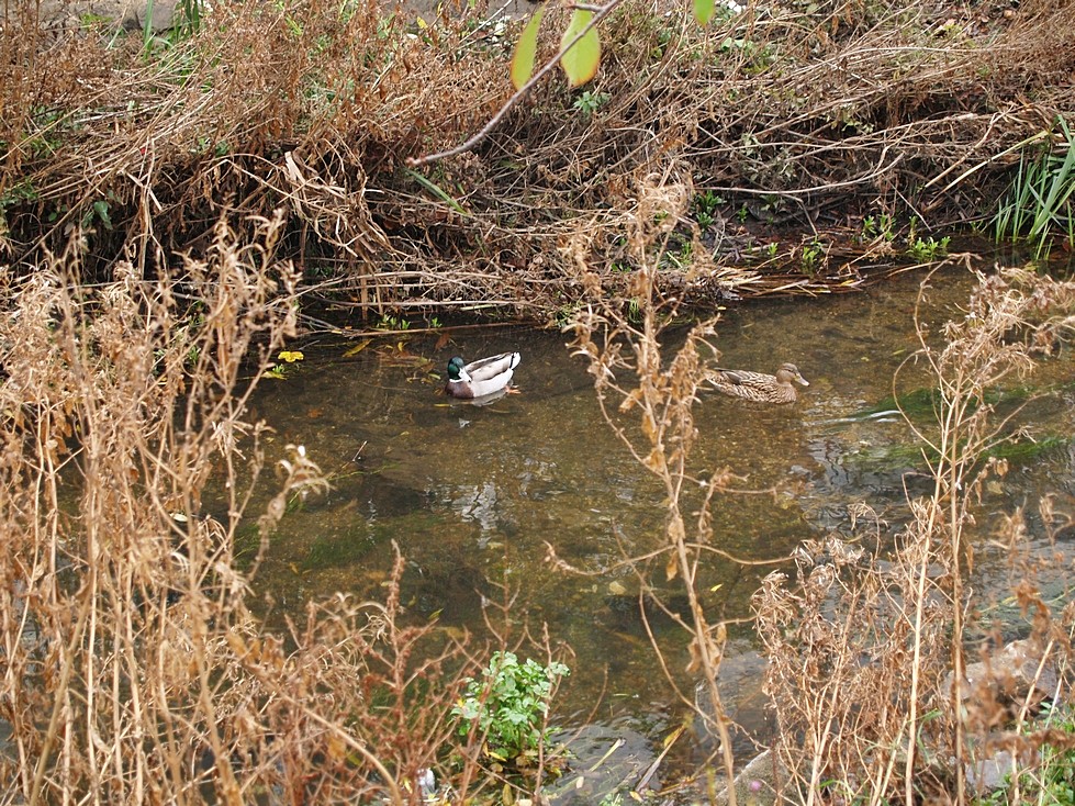
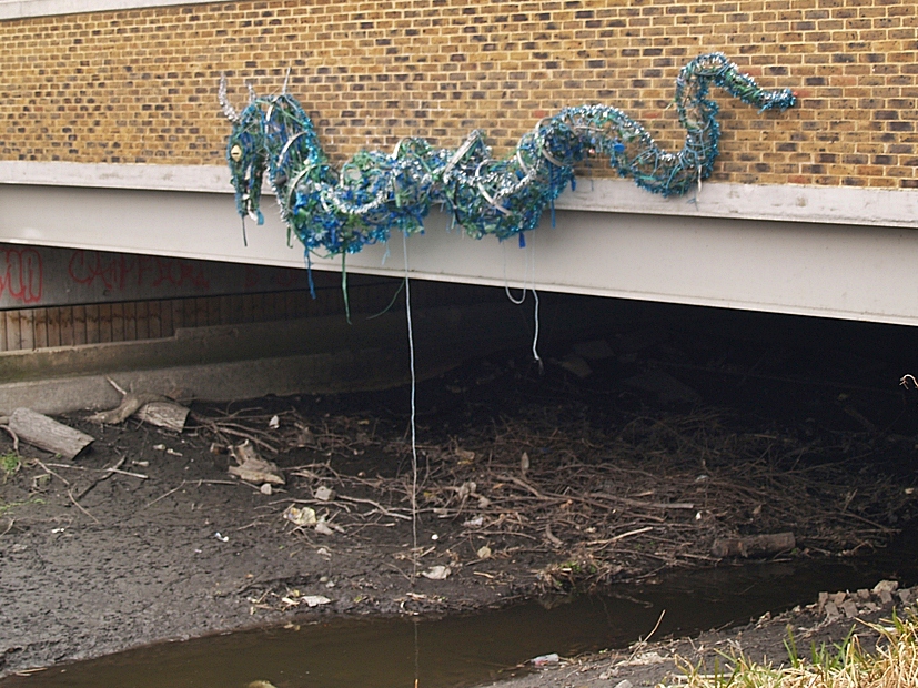
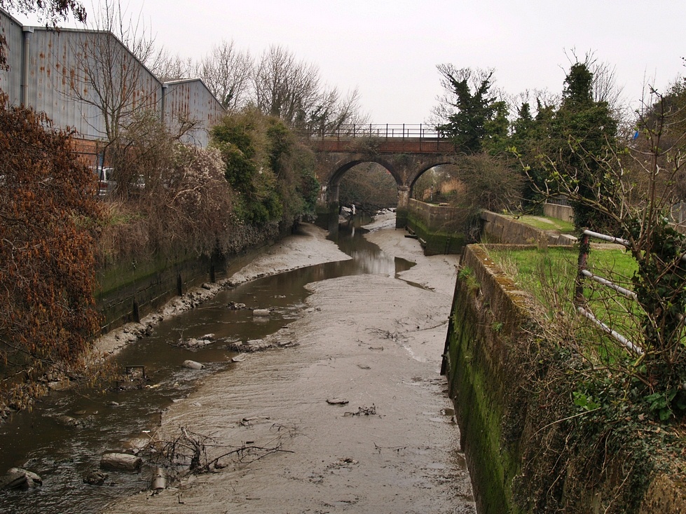
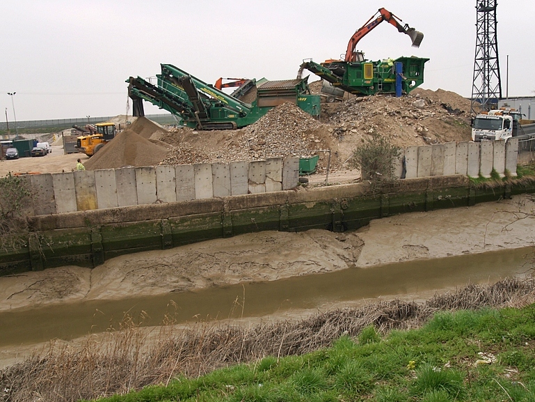
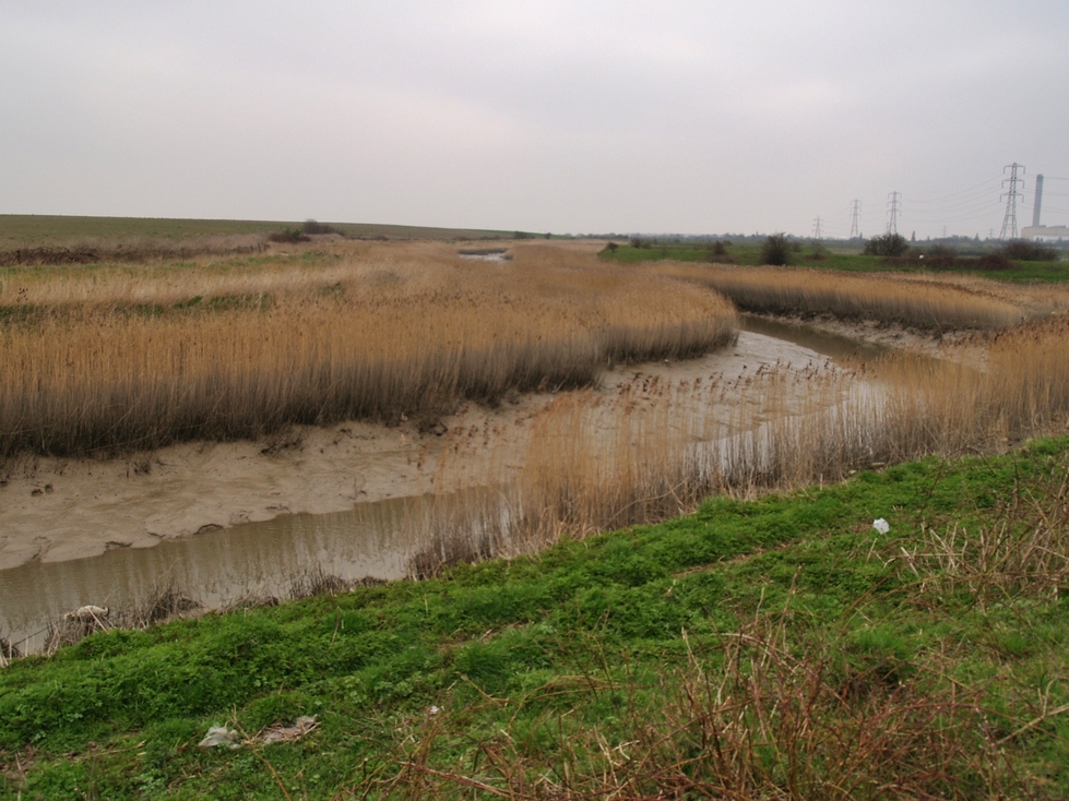
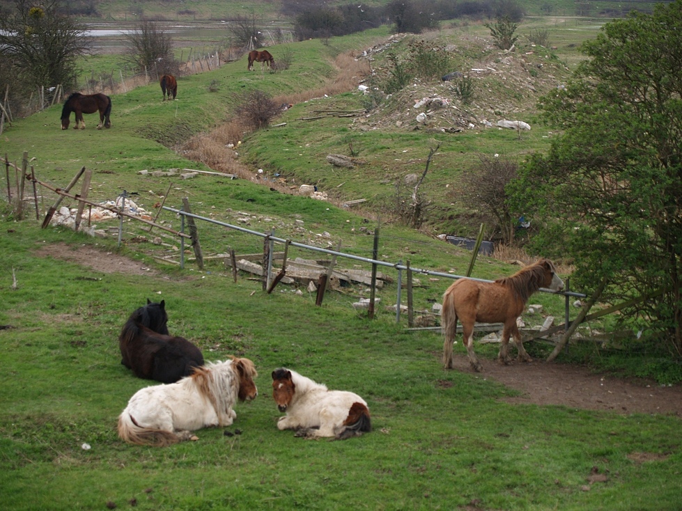
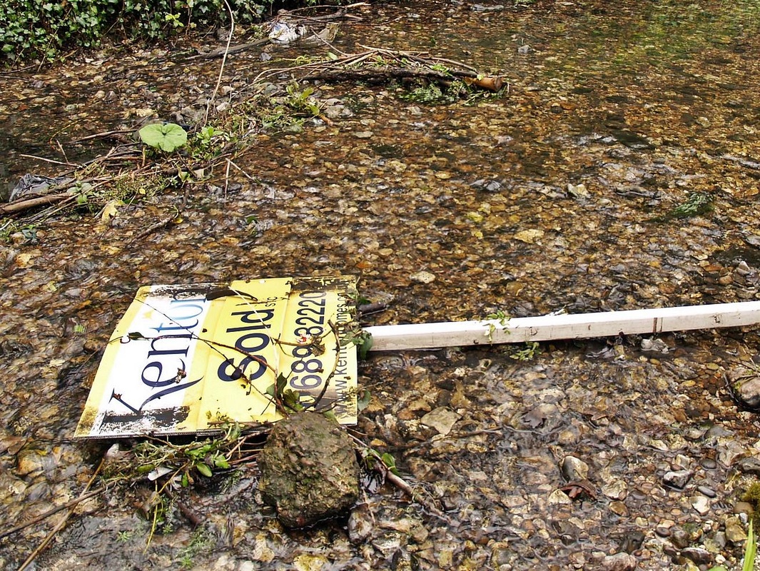
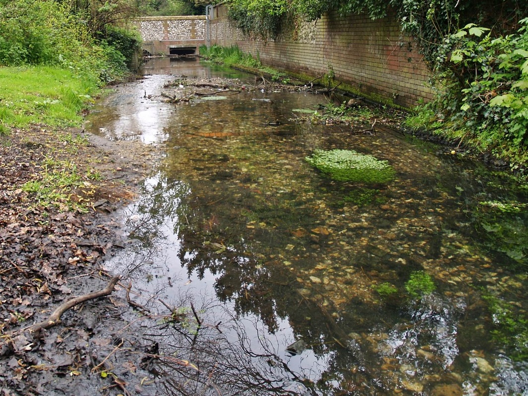
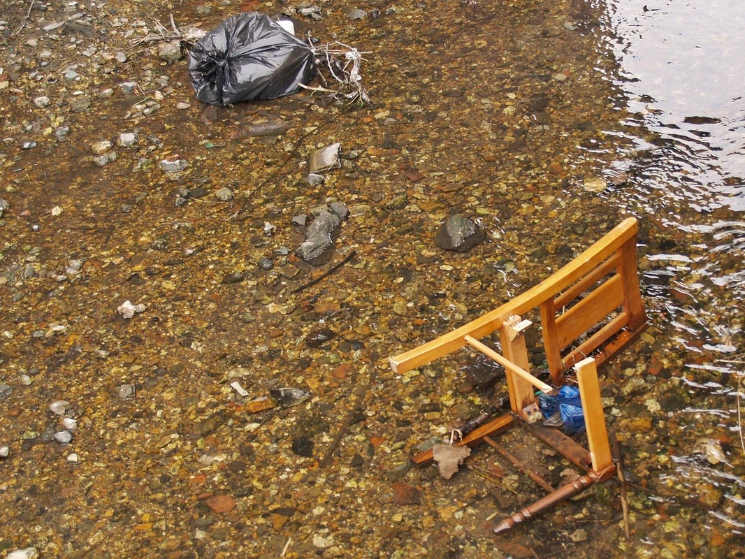
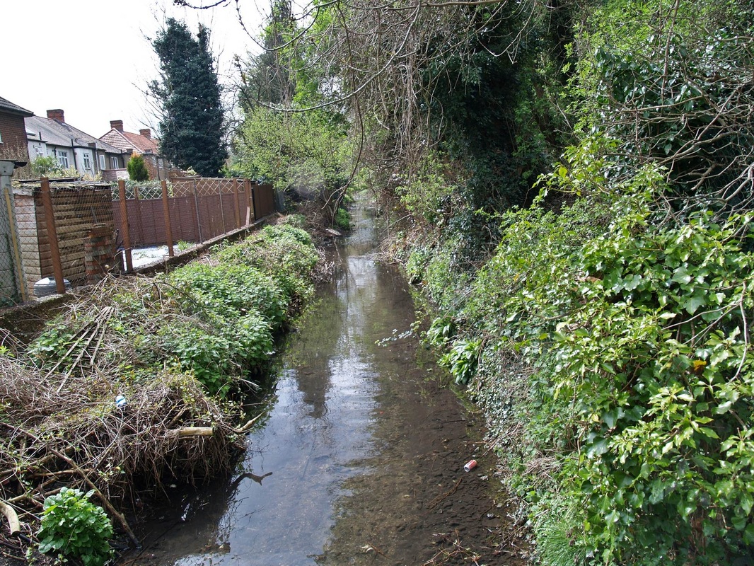
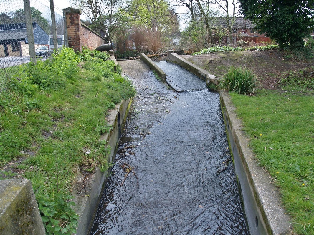
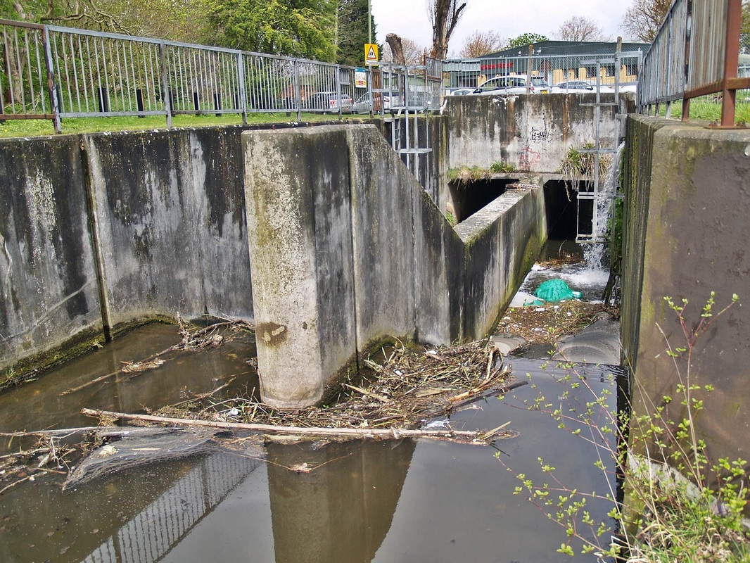
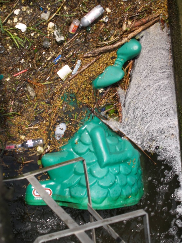
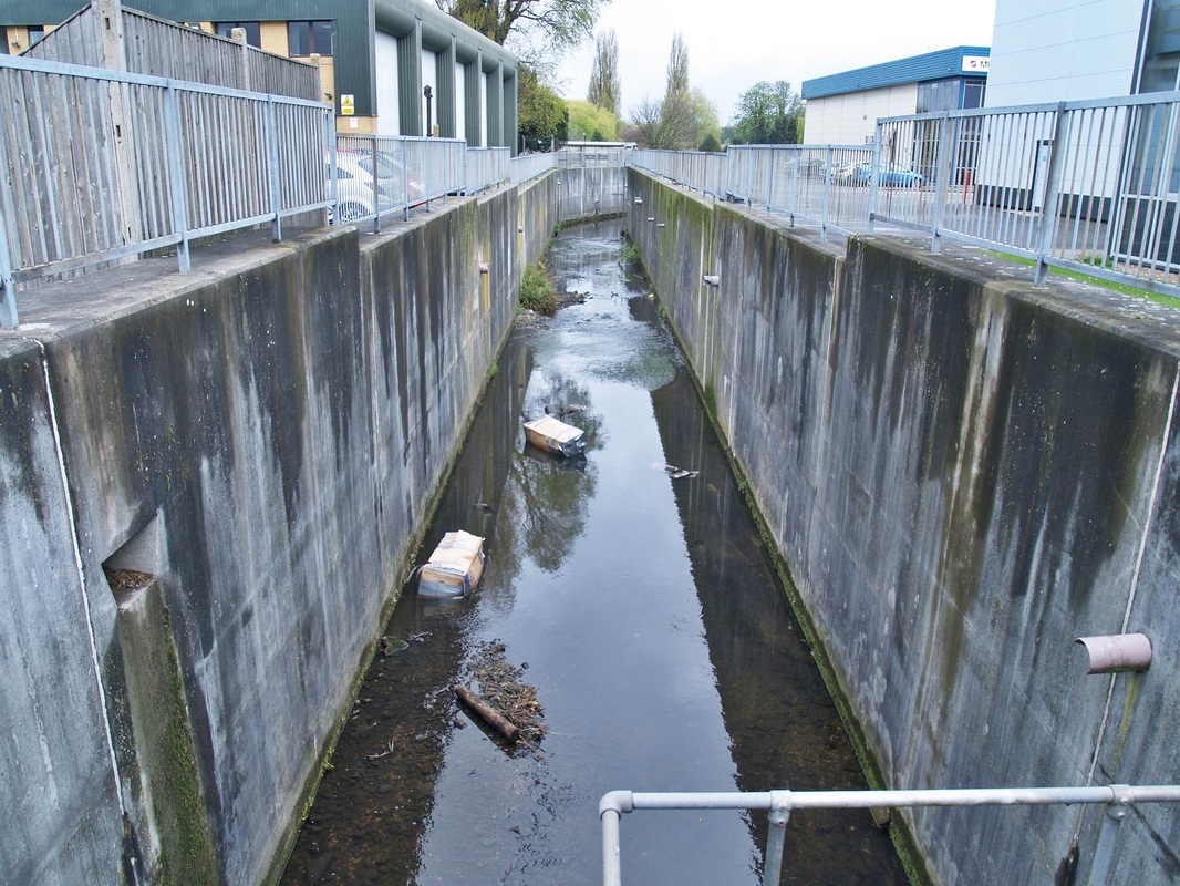
The Cray in pictures - From Crayford to Crayford Marshes:
Click on a pic to enlarge & then the right arrow on the enlarged pic to continue looking through the gallery.