London's Lost Rivers - Parr’s Ditch (aka Black Bull Ditch)
The clue is in the name as with alot of London's waterways
|
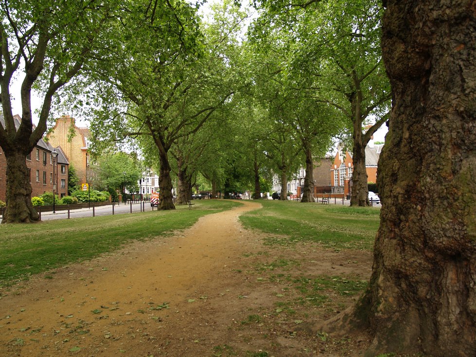
This pathway lined by ancient trees marks the course of Parr's Ditch in Brook Green
|
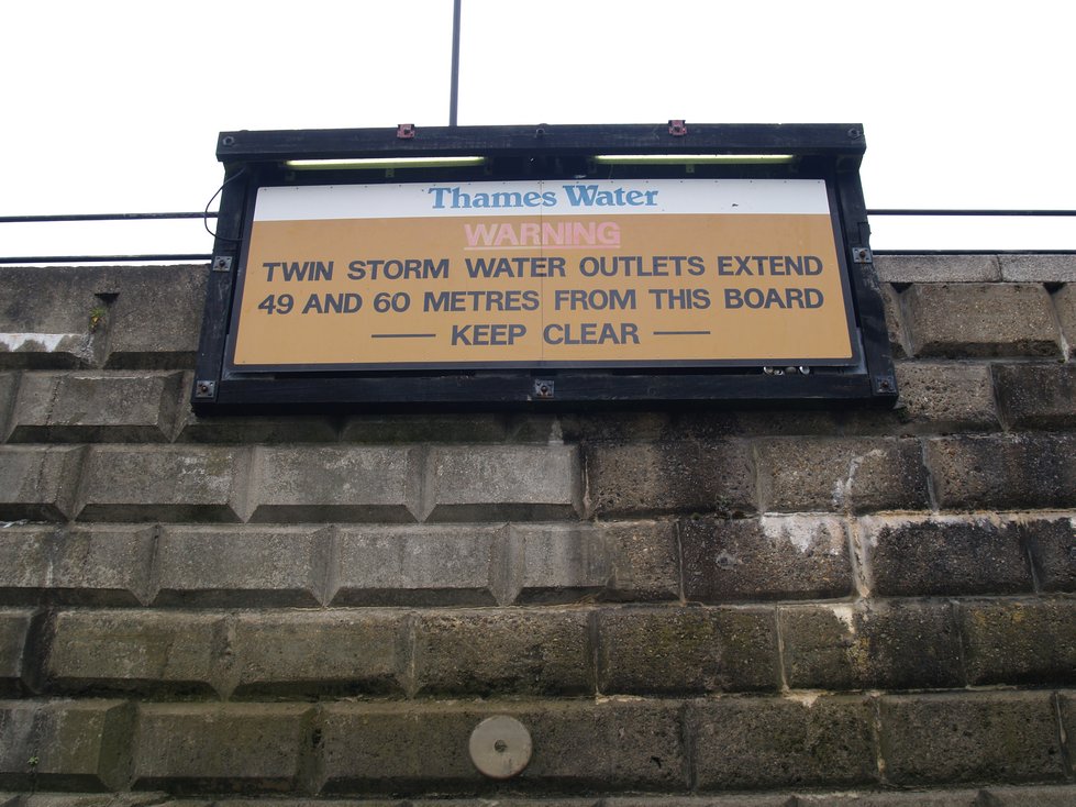
Warnings along the Thames in Hammersmith of sewer outfalls
|
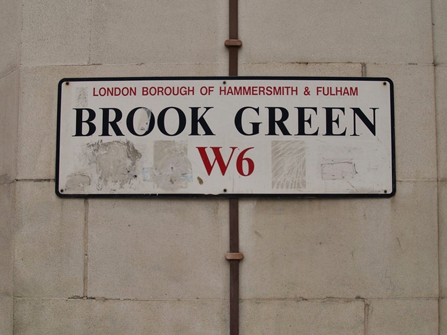
The U shaped Parrs Ditch begins in the Brook Green vicinity of Hammersmith before curving southwards crossing the Hammersmith Road and the Talgarth Road and then curving west across the Fulham Palace Rd and joins the Thames adjacent to the Riverside Studios, near Hammersmith Bridge. A few archive maps show a watercourse from the Stamford Brook near Ravenscourt Park, running east to join Parrs Ditch at Brook Green. Victorian sewerage “stink pipes” certainly mark this route.
There appear to be no explanation for why the ditch was known as Parrs Ditch. The English definition of parr is a young salmon though there are no records of fish in the ditch which was more than likely an open sewer. The ditch was also named after the Black Bull Inn where the Ditch ran beside. The location of this Inn was where the old house of the High Master of St Pauls School now stands beside the Hammersmith Road (built as part of a school which moved from near St Paul’s Cathedral to West London in 1884).
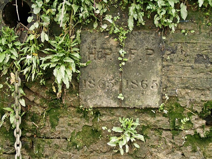
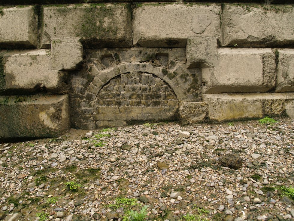
Parrs Ditch, believed to be man made, follows the historic boundary between Hammersmith and Fulham. At the outfall of the Ditch onto the Thames there is an old boundary marker on the river wall. The area has been occupied for over 5000 years and excavations at this location have revealed Neolithic flint tools and pottery, Iron Age pottery and evidence of Roman settlements.
The ditch became polluted with waste from nearby brick fields, and was eventually covered, and finally converted to a sewer in 1876.
There appear to be no explanation for why the ditch was known as Parrs Ditch. The English definition of parr is a young salmon though there are no records of fish in the ditch which was more than likely an open sewer. The ditch was also named after the Black Bull Inn where the Ditch ran beside. The location of this Inn was where the old house of the High Master of St Pauls School now stands beside the Hammersmith Road (built as part of a school which moved from near St Paul’s Cathedral to West London in 1884).
Parrs Ditch, believed to be man made, follows the historic boundary between Hammersmith and Fulham. At the outfall of the Ditch onto the Thames there is an old boundary marker on the river wall. The area has been occupied for over 5000 years and excavations at this location have revealed Neolithic flint tools and pottery, Iron Age pottery and evidence of Roman settlements.
The ditch became polluted with waste from nearby brick fields, and was eventually covered, and finally converted to a sewer in 1876.
|
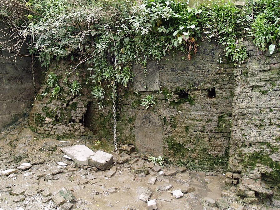
Parrs Ditch follows the historic boundary between Hammersmith and Fulham. At an old outfall of the Ditch onto the Thames there is an old boundary marker on the river wall. Pics taken 2011. This wall has since been demolished
|
|