London's Lost Canals - Croydon Canal
From West Croydon via Penge and Forest Hill joining the Grand Surrey Canal at New Cross to provide a link to the Thames at Rotherhithe.
Walk the route of the Croydon Canal and some other lost canals and rivers of London for yourself with Paul Talling, author of this website and the book London's Lost Rivers (published by Penguin Random House). All of Paul's guided walking tours from 2013 to 2022 have sold-out weeks in advance. Click Here
Two reservoirs were constructed, one at Sydenham (now no longer visible) and one dug at South Norwood. The reservoirs were to keep the highest of the locks supplied with water. South Norwood Lake remains to this day and is now the only large expanse of open water in Croydon. It is fed by springs rising on the hillside where the geology changes and the gravel meets the London Clay beneath. The water is very deep, being about 18 feet at the centre.
The Croydon Canal opened at the same time as the Grand Surrey Canal in 1809 - a 21 gun salute met the first barge as it entered the canal basin at West Croydon, cheering crowds had gathered and a band played the National Anthem. The canal enabled lime, timber, chalk and agricultural produce to be sent to London in exchange for coal being handled to Croydon, then an ancient market town. Although the canal was only just over 9 miles long it had 28 locks between New Cross and Honor Oak (a stretch of just over 2 miles), which beset the canal with problems, as these locks were costly to maintain, and caused queues & congestion for the barges waiting to negotiate them. The proprietors raised money to build the canal by selling shares at £100 each but by 1830 £1 could buy 10 shares!
The canal was a financial failure and closed in 1836 and the railway line from London Bridge to Croydon was built, generally following the route of the canal, but the railway line used cuttings and embankments to avoid the twists and turns of the canal. The railway opened in June 1839, and is the second-oldest passenger line in London. West Croydon Station stands on the site of the Croydon Canal Basin. Lengths of canal unsuitable for the railway survived a little longer and carried on trading & used for pleasure boating though these were soon lost due to the rapid residential development as London expanded into the suburbs.
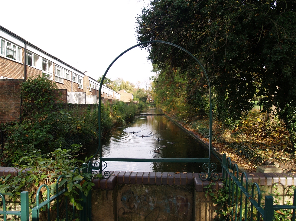
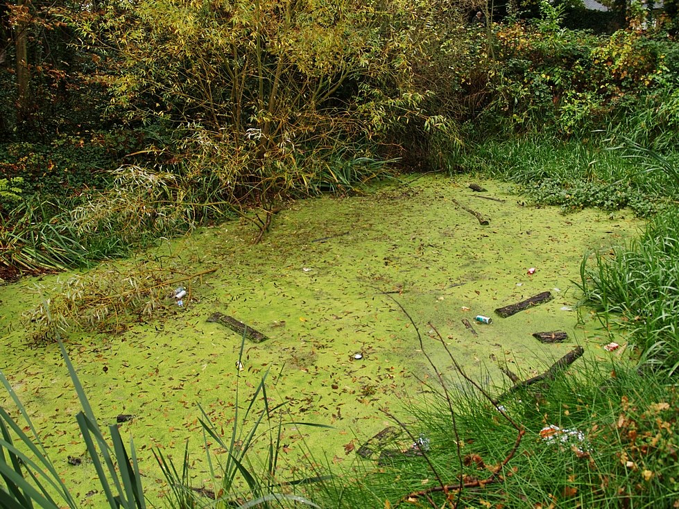
The route of the canal was beautiful and tranquil but also a very lonely place and several murders and suicides took place here. One story tells of a Mary Clarke in 1831 who was last seen one evening in a boat with a young man. The next day the empty boat was found floating on the canal & her bruised body found several days later. Most evidence of this short-lived canal has long disappeared, but it is still possible to find traces at Betts Park in Anerley & in Dacres Wood between Sydenham & Forest Hill. The Betts Park section has since been encased in concrete, and the adjacent notice board incorrectly states that these are the only visible remains of the canal. The Dacres Wood section is more authentic, although perhaps in need of dredging. This part of the former canal became the garden of a Victorian house called Irongates which was demolished in the 1960s and a block of flats built on the site of the house and in 1989 the canal part of the garden became a nature reserve. The site is locked for health and safety reasons according to the council.
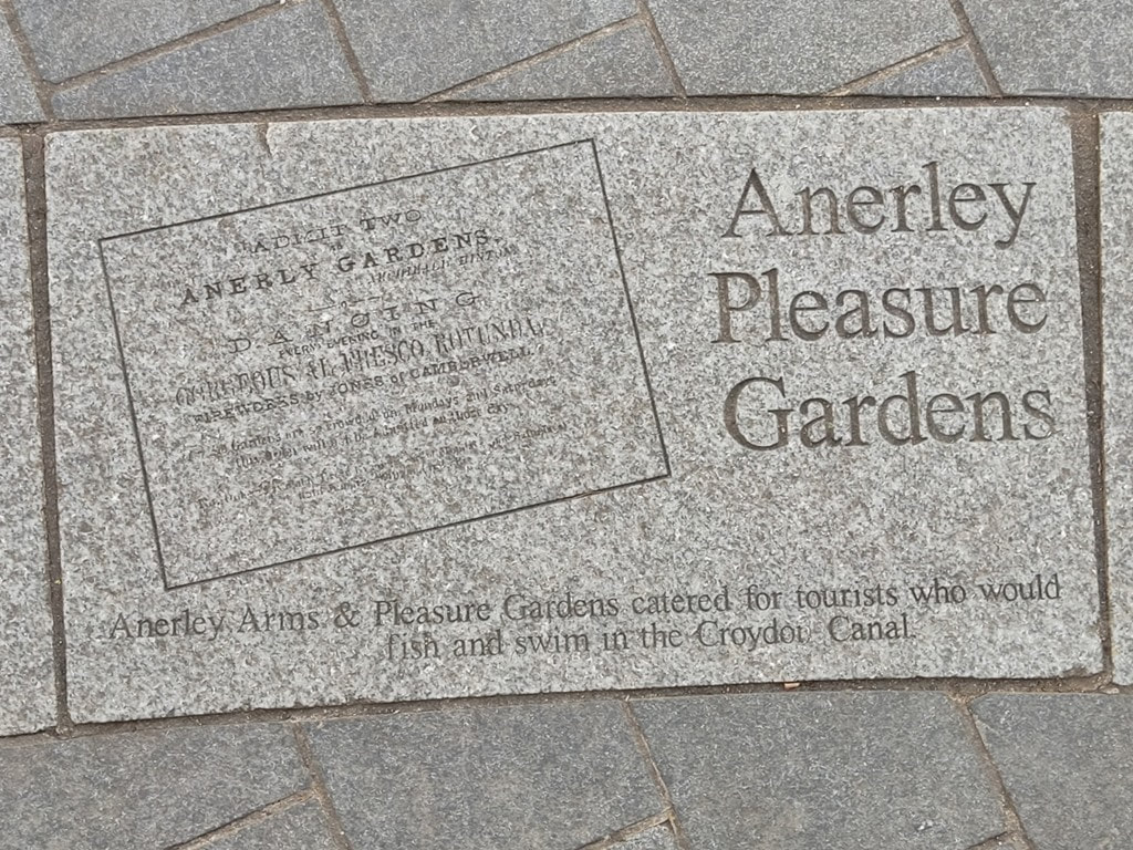
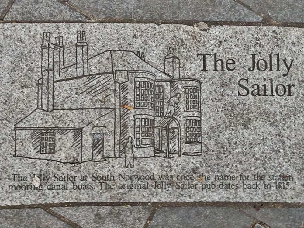
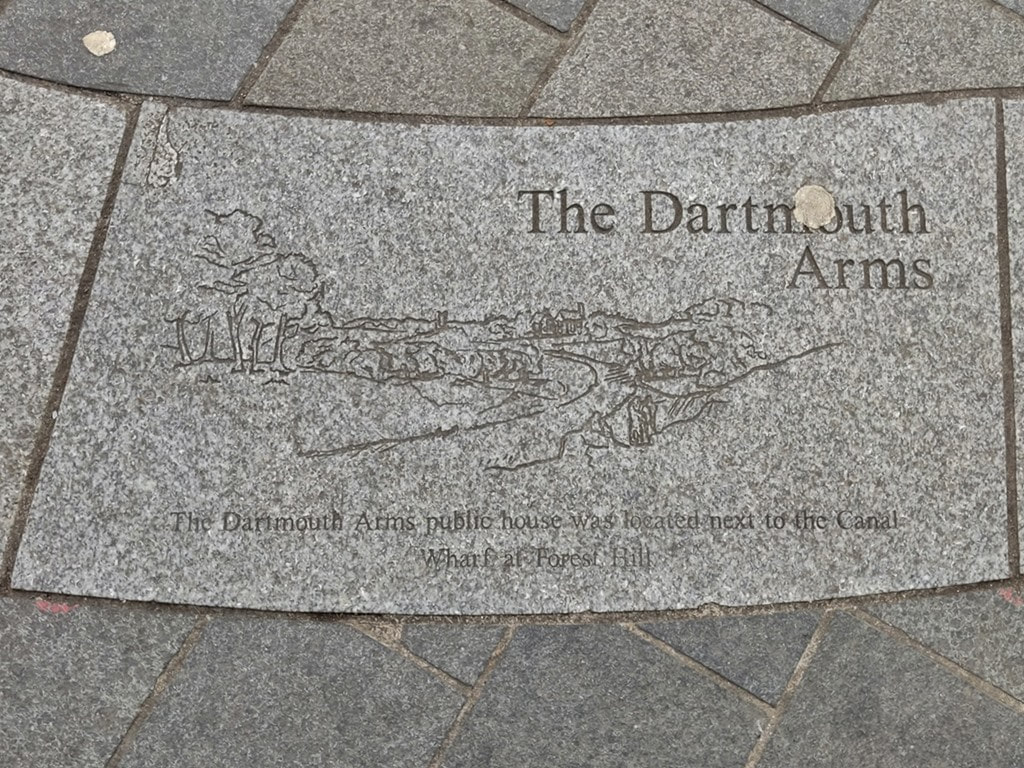
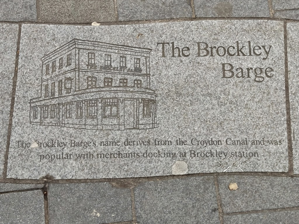
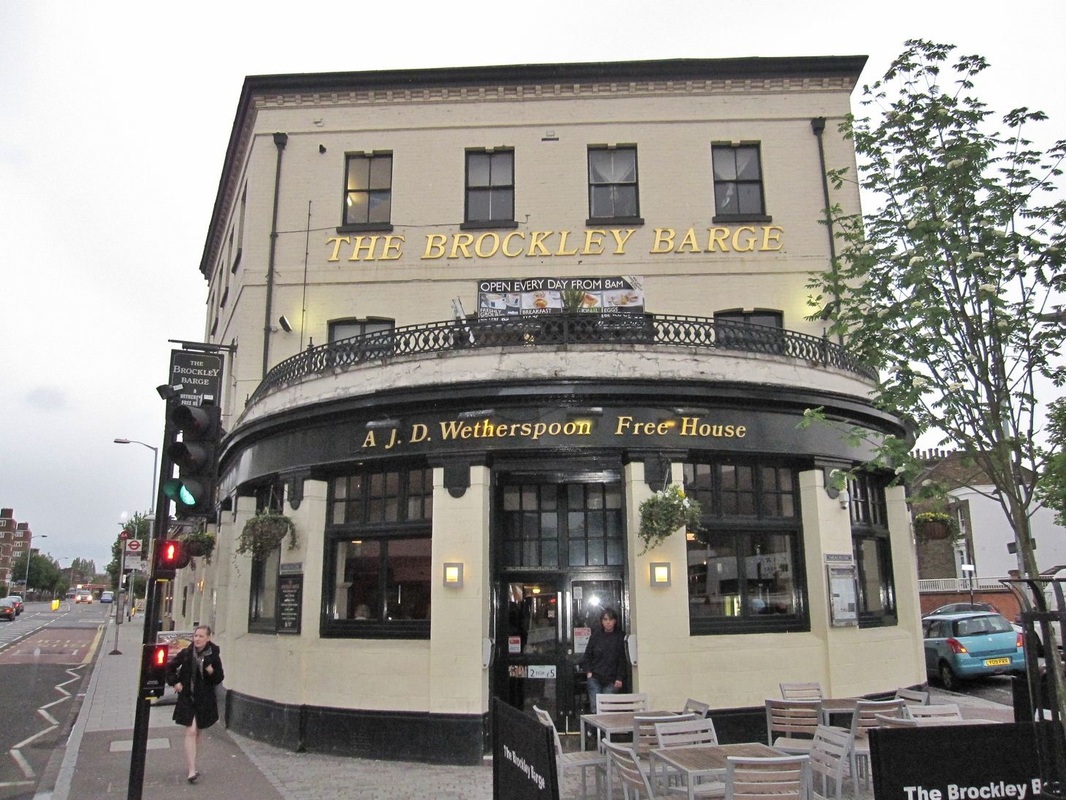
There is an illustration on a brick wall in Forest Hill in recognition of the former existence of the canal. This wall is on the site of the canal wall & the raised pavement is the former towpath. Some paving slabs in South Norwood pay tribute to the former canal side attractions of The Jolly Sailor, Brockley Barge, Dartmouth Arms and the Anerley Pleasure Gardens.
