London's Lost Canals - The Grosvenor Canal
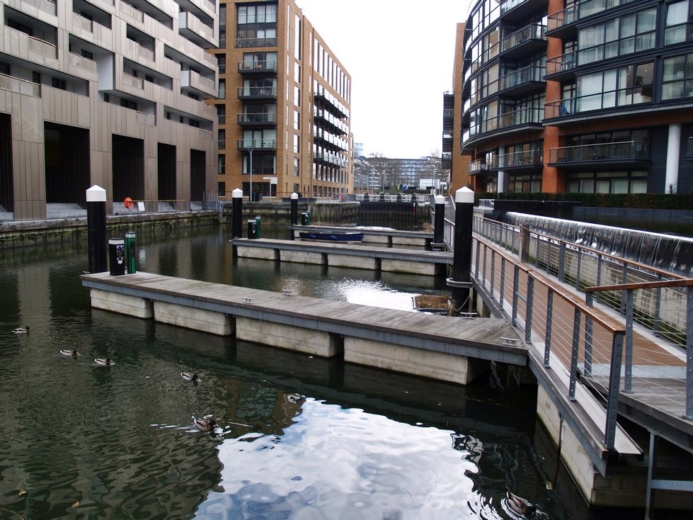
Grosvenor Waterside looking away from the Thames
|
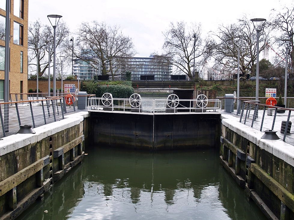
Grosvenor Waterside looking towards the Thames
|
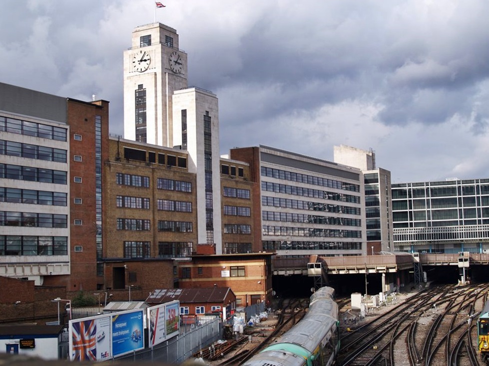
The shortest canal in London started at the Thames in Pimlico near Chelsea Bridge and originally went as far as its basin, half a mile away, at Victoria where the railway station is now situated.
The Chelsea Waterworks Company dug a navigable tidal channel off the Thames in 1725 to provide waterborne access to their works and as a water supply channel for the company's reservoirs. The Chelsea Waterworks Company supplied water to many central London locations throughout the 18th and 19th centuries by Royal Charter. By the 19th century there were complaints about the quality of the water they were drawing from the River Thames, and in 1829, the company became the first in the country to install a slow sand filtration system to purify the water
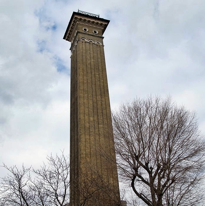
In 1825 Lord Grosvenor built a canal on the site of the channel dug by the waterworks to carry goods to and from Belgravia, which was then being developed. In the mid 19th century the Metropolis Water Act prohibited the extraction of water for household purposes from the tidal Thames and the company moved to Surbiton in 1856. The vacated site was used by the railway companies to build lines into west London and London Victoria Station was built on the site of the Grosvenor Canal basin which originally contained coal, stone, and timber wharfs. A remaining waterworks building, known as the Western Pumping Station still remains beside the site of the canal and its chimney is something of a landmark in the area. However, the chimney now acts as a ventilation shaft for sewers rather than its original purpose of being the chimney for boilers.
After the in-filling of its basin the canal continued, although the top part of the canal was closed to enable the station complex to be enlarged in 1899. The remaining short length of canal was purchased in 1905 by Westminster City Council. A further section was in-filled in 1927 to provide space for construction of the Ebury Bridge Estate. For almost a year from 1928 the canal was closed for major repairs and improvements to facilitate its principal traffic of refuse collected by the local authority for disposal. The barges were towed down the Thames for the rubbish to be dumped in the North Sea. From the late 1940s other local authorities added their refuse to the traffic carried. This continued until the end of the 1990s and the canal has now been redeveloped as Grosvenor Waterside – an expensive looking housing development.
The Chelsea Waterworks Company dug a navigable tidal channel off the Thames in 1725 to provide waterborne access to their works and as a water supply channel for the company's reservoirs. The Chelsea Waterworks Company supplied water to many central London locations throughout the 18th and 19th centuries by Royal Charter. By the 19th century there were complaints about the quality of the water they were drawing from the River Thames, and in 1829, the company became the first in the country to install a slow sand filtration system to purify the water
In 1825 Lord Grosvenor built a canal on the site of the channel dug by the waterworks to carry goods to and from Belgravia, which was then being developed. In the mid 19th century the Metropolis Water Act prohibited the extraction of water for household purposes from the tidal Thames and the company moved to Surbiton in 1856. The vacated site was used by the railway companies to build lines into west London and London Victoria Station was built on the site of the Grosvenor Canal basin which originally contained coal, stone, and timber wharfs. A remaining waterworks building, known as the Western Pumping Station still remains beside the site of the canal and its chimney is something of a landmark in the area. However, the chimney now acts as a ventilation shaft for sewers rather than its original purpose of being the chimney for boilers.
After the in-filling of its basin the canal continued, although the top part of the canal was closed to enable the station complex to be enlarged in 1899. The remaining short length of canal was purchased in 1905 by Westminster City Council. A further section was in-filled in 1927 to provide space for construction of the Ebury Bridge Estate. For almost a year from 1928 the canal was closed for major repairs and improvements to facilitate its principal traffic of refuse collected by the local authority for disposal. The barges were towed down the Thames for the rubbish to be dumped in the North Sea. From the late 1940s other local authorities added their refuse to the traffic carried. This continued until the end of the 1990s and the canal has now been redeveloped as Grosvenor Waterside – an expensive looking housing development.
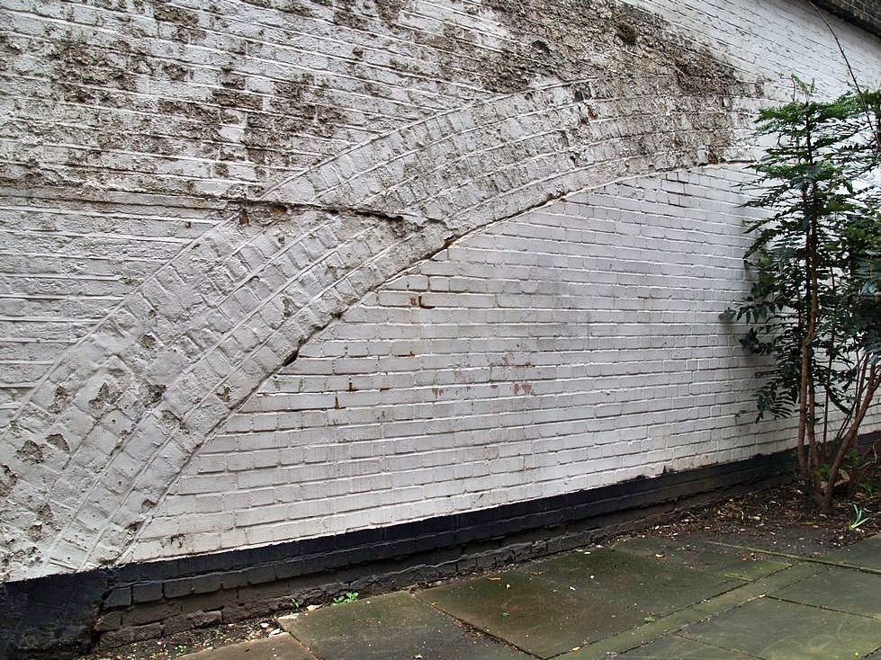
Ebury Bridge is now bricked up where the canal used to pass under it
|
Before Victoria Station this was the canal basin
|